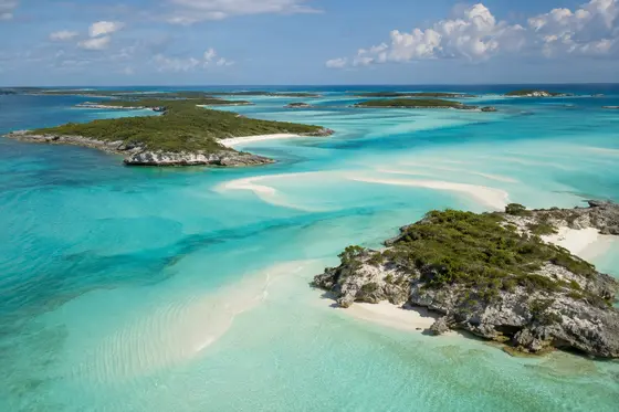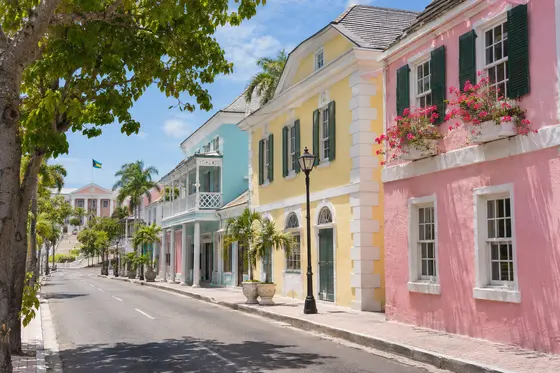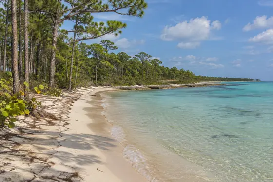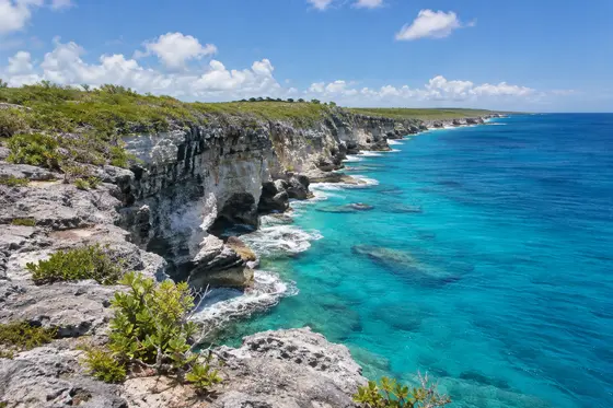
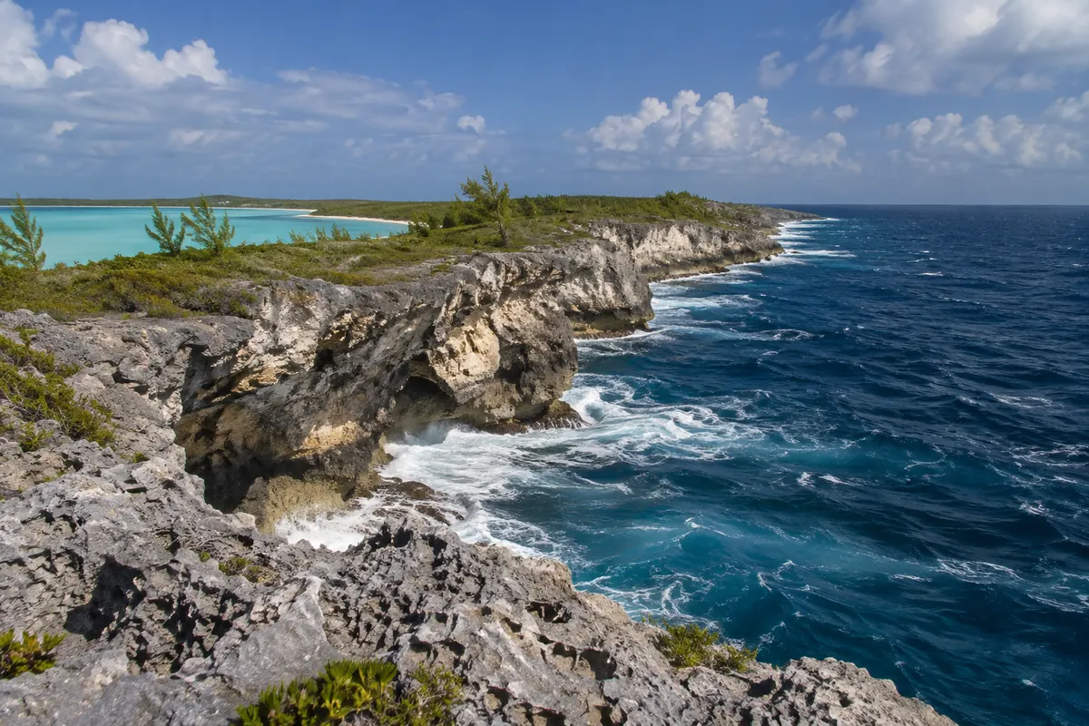
Eleuthera is long, narrow and difficult to appreciate in a single day. As you travel south, roads lead through small settlements, low hills and areas where the sea seems close on both sides. It has an Atlantic shore exposed to waves and a western shore looking towards shallower banks. These two aspects are part of its character.
The narrow north
The Glass Window Bridge crosses a particularly narrow stretch of the island. From a safe viewpoint, the difference between the dark Atlantic and paler water on the other side is striking. Powerful waves can break across the road in rough weather. Follow local advisories, keep well away from hazardous edges and avoid parking in traffic lanes. The northern area is also the gateway for short ferry crossings to Harbour Island and Spanish Wells.
Governor's Harbour and the centre
Governor's Harbour is a useful base if you want to explore the island by car. Its harbour, modest historic buildings and local businesses offer a change from beach time. The nearby Atlantic-side beaches vary in wave conditions, and some access tracks are rough. Ask your host which beaches can be reached in your rental car and where public paths are located. For a day of quiet swimming, consider a western-side location if the wind favours it.
The southern roads
Farther south, settlements become more spread out and trips take longer than expected. Rock Sound is one of the towns where travellers can obtain provisions and explore the local area. Leave time for the return drive and do not count on finding facilities on an isolated stretch of coast.
Eleuthera is particularly appealing to people who enjoy having their own route. A week provides time to see more than one part of the island without spending every day on the road. When choosing accommodation, look closely at where it is, which airport serves that part of Eleuthera and how easy it is to reach shops and your preferred beaches.
The quieter side of the island
In several places, the shallow western waters have little of the drama of the Atlantic cliffs, but they can be ideal for watching changing light at the end of the day. A small beach close to a settlement may offer a better place to relax than a highly photographed viewpoint. If you are hiring a car, make note of these simple stops near your accommodation. Drive farther on the days when you have the energy, and use the nearby places in the afternoon. The island's shape encourages this unhurried approach.
Pineapple country around Gregory Town
Gregory Town occupies a hilly stretch of Eleuthera where roads wind past houses, small businesses and cultivated plots. Pineapple growing has long been associated with this part of the island. The fruit is an interesting subject for anyone who has so far seen only the coastal landscape. The growing process takes patience, and cultivating a commercial crop on a narrow limestone island involves very different conditions from those on a large continental farm.
The locally grown sugarloaf pineapple is particularly well regarded for its sweetness. If you visit during the growing season, ask a shopkeeper or your accommodation host whether fresh fruit is available locally. A pineapple tart from a village bakery can be worth stopping for, even if you have just passed through on your way farther north. The annual Pineapple Festival in Gregory Town brings local growers and returning families together; check the festival calendar for the dates of a particular year's celebration. It is an agricultural and community occasion as much as a visitor event, and arrangements for the surrounding roads, meals and accommodation may be different during the festival.
A little of the island's early history
Preacher's Cave near the northern end of Eleuthera has been associated with the settlers known as the Eleutheran Adventurers, who came from Bermuda seeking religious freedom in the seventeenth century. According to the traditional account, William Sayle and his companions sheltered in the cave after a shipwreck. The site has a quiet grandeur without the need for elaborate interpretation. The Ministry of Tourism's description explains its connection to the early settlers.
This episode is one moment in the much longer history of the Bahamian islands. The Lucayan people had occupied the archipelago before European settlement; the history of the Bahamas also includes enslavement, migration, farming and the development of seafaring communities after emancipation. In older villages you can sometimes recognise the ways in which families built close to a harbour, church or main road. Look beyond the postcard buildings. The layout of the settlement itself may help explain where people found work, how they travelled between communities and why some inland properties stand on relatively small pieces of land. Ask locally before exploring an abandoned building or cave; the condition of rock and masonry may not be evident from the entrance.
A walk through Governor's Harbour
The harbour gives the town an attractive centre for an afternoon on foot. Roads climb fairly quickly from the waterfront, and a short circuit that takes in the harbour as well as the streets above it reveals a different view with each change of elevation. On a particularly hot afternoon it makes sense to divide the walk into brief stops rather than attempt the whole town at once. The shoreline is not exclusively a visitor promenade, so pay attention to the activity around boats and vehicles.
An especially interesting building is the Haynes Library, which dates to 1897. It was once part of a government complex and still has a community function as a library. Its history is documented in the official attraction listing. Find out directly whether a visit is possible, since a public library is not simply a monument. The quieter village streets offer a chance to observe how shutters, raised verandas and shade trees affect everyday life in a warm climate. It is a pleasant contrast to the expansive views along the ocean-facing road, and a sensible place to spend part of a day when swimming conditions are poor.
Native plants and inland scenery
The Leon Levy Native Plant Preserve near Governor's Harbour provides a useful introduction to the land that lies between the beaches. Managed as part of the Bahamas National Trust's park system, it conserves examples of the native vegetation and helps explain traditional knowledge of plants. The paths introduce you to different habitats, and the cultivated or interpreted areas make it easier to tell unfamiliar species apart. Check the preserve's visitor information before making a special trip.
This is a good outing for travellers who would like to understand the island's dry-looking hillsides. Pineapple fields, gardens and vegetation growing on limestone can look quite different from the slope beside a beach. Walking among the plants allows you to notice insects and the sounds of birds that are easily missed from a moving car. If you carry a camera, a broad landscape photograph is only the starting point. A photograph of a leaf, a flower or a tree's bark may prove more useful when identifying a plant later. Do not pick leaves or remove anything from a protected area, even if a plant looks plentiful.
Pools, shorelines and places to pause in the south
Rock Sound's Ocean Hole is an unusual inland body of water surrounded by limestone, rather than a conventional coastal beach. It is also a place to consider the relationship between the island's porous geology and the sea. The water contains marine life, despite its inland position. Look down at the pool from an appropriate viewing place and resist the temptation to assume that an inviting surface makes every entry point suitable for swimming. Local advice and official signs should guide any decision about getting into the water.
Near the Glass Window Bridge, the Queen's Bath is another well-known geological feature. Its irregular stone pools have been shaped by the action of the Atlantic. The circumstances of a visit matter considerably more than photographs of the pools taken on previous days. In rough seas the same waves that helped create the formation make the exposed rocks dangerous. It is entirely reasonable to leave this stop out if conditions are unsuitable and head instead for an accessible beach on the other shore. The island's length allows you to organise your time around the weather. Reserve separate days for trips north and south, and keep the remaining days for destinations near your lodgings instead of spending every morning driving the entire route.